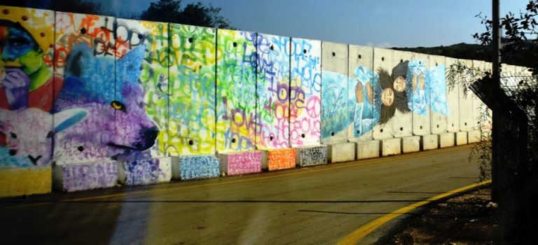
Lebanon formed a new government with Hezbollah approved Prime Minister Hassan Diab.
A quarter of a million residents live within five miles of the northern Israeli border with Lebanon. According to the Confrontation Forum, nearly 70,000 residents have no home security solutions and many more have no easily accessible public shelters. Five billion shekels were allocated for a protection program, but the program has yet to begin.
The killing of Iran Quds Force Commander, Qasem Soleimani, could bring Iran to seek revenge by targeting Israel, through its proxy, Hezbollah, along the northern border. A staggering number of residents within the targeted communities will have no shelters to run to and nowhere to take cover.
Some times you have to get up and get going and see what’s happening in other areas of the country.
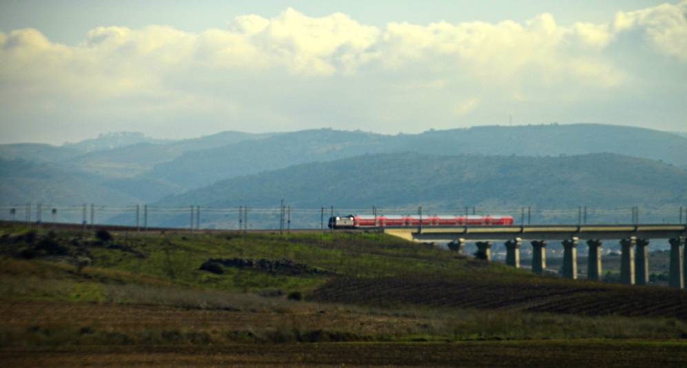
On the road north from Jerusalem the train passed going south toward Jerusalem.
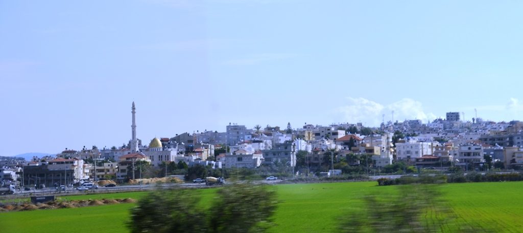
Arab villages line the main highway Route #6 as one travels north to the Galilee.
This is a photo summary of a full day of activities, which included meeting Mateh Asher Regional Council (Arab al-Aramshe) Moshe Davidovich, Chairman of the Confrontation Line Forum and Head of the regional council; from Ma’ale Yosef Regional Council (Shtula) Shimon Guetta, Head of the Ma’ale Yosef Regional Council; and Col. (ret) – Luchy Yossef – Former Commander of the north district of the home front command and CEO of Shlomi.

After the heavy rains, pools of water remained in some fields even on a clear day.
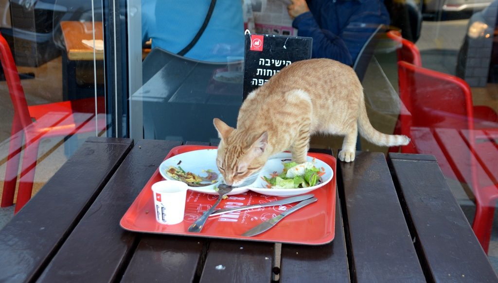
A Jerusalem cat found its way to the rest stop on Route 6? It is a long trip to the Upper Galilee.
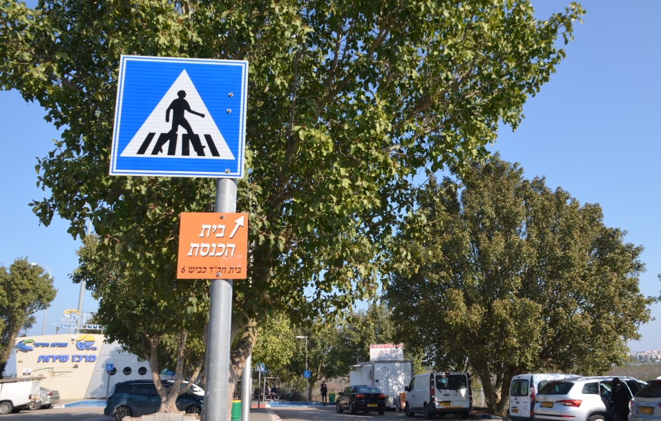
At the rest stop, we saw a sign for the Habad House on Route #6.
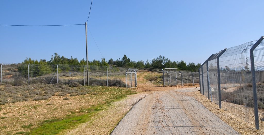
At the border fence between Israel and Lebanon, there were few cars.
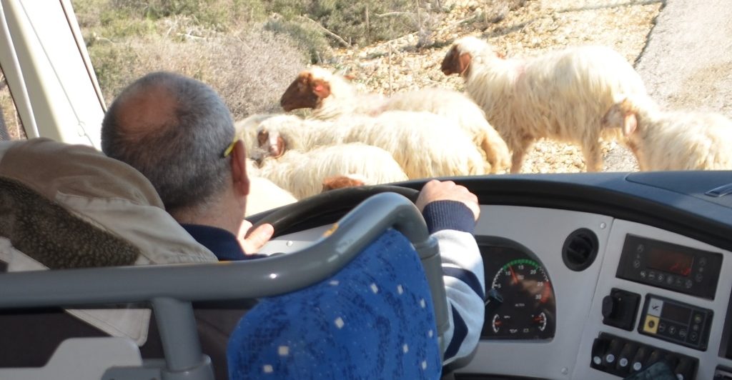
However, our driver had to wait for a herd of sheep to get off the road.
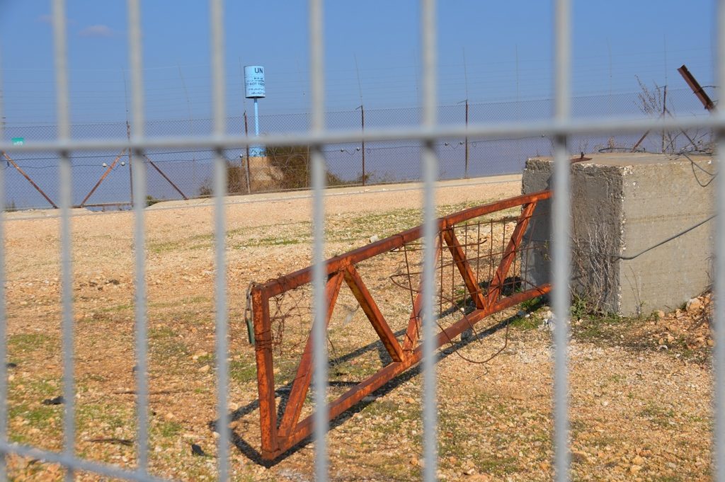
At the border, there is both new fencing and a bit of the old.
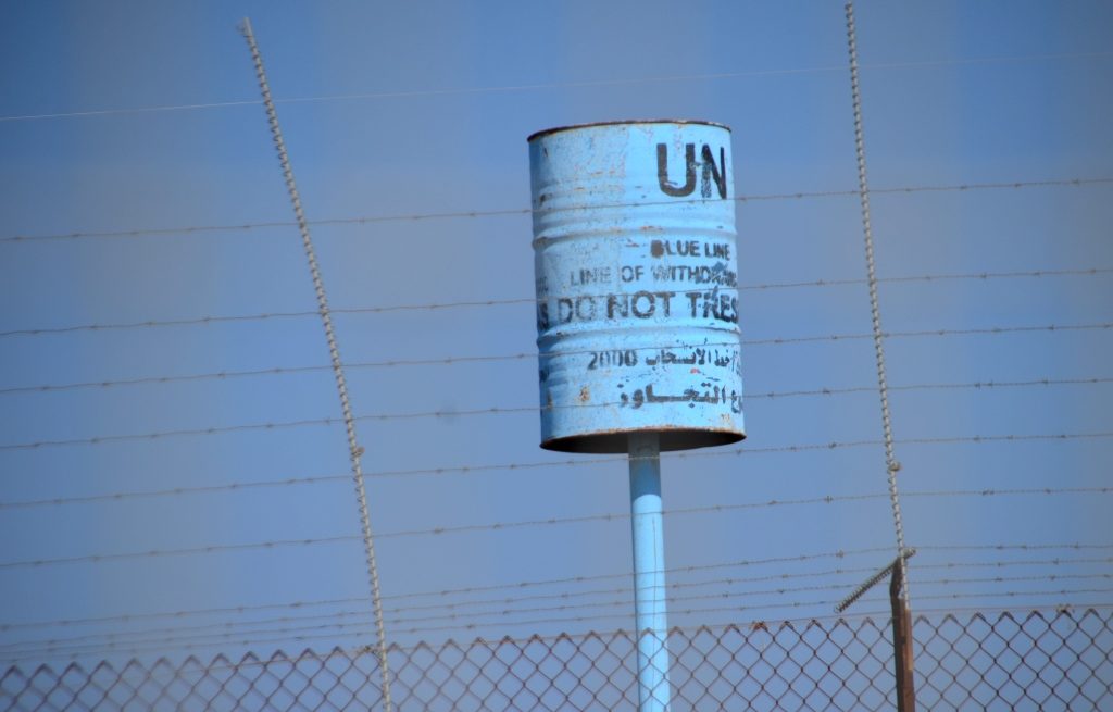
A close up of the UN Blue Line, this is the DO NOT TRESPASS marker which marks the Lebanon border.
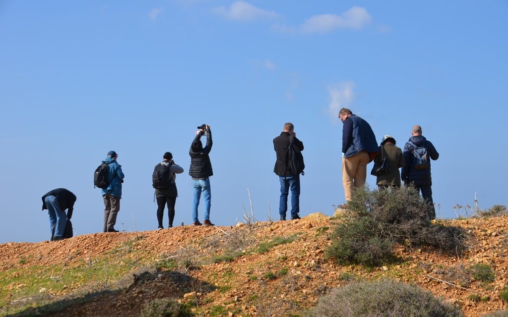
Photographers were lucky to have a perfect weather day on the border for views.
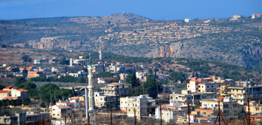
This was the view of Lebanon from the Israeli lookout point over Lebanon.
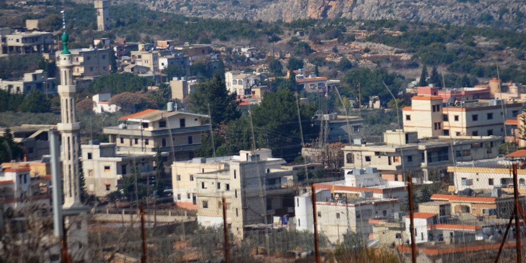
On a close-up of the view, I wondered how many of those buildings are really residential homes?
Where are the windows? Water tanks? People? Only one satellite dish?
How many missiles and rockets could be fired at us from those open windows?
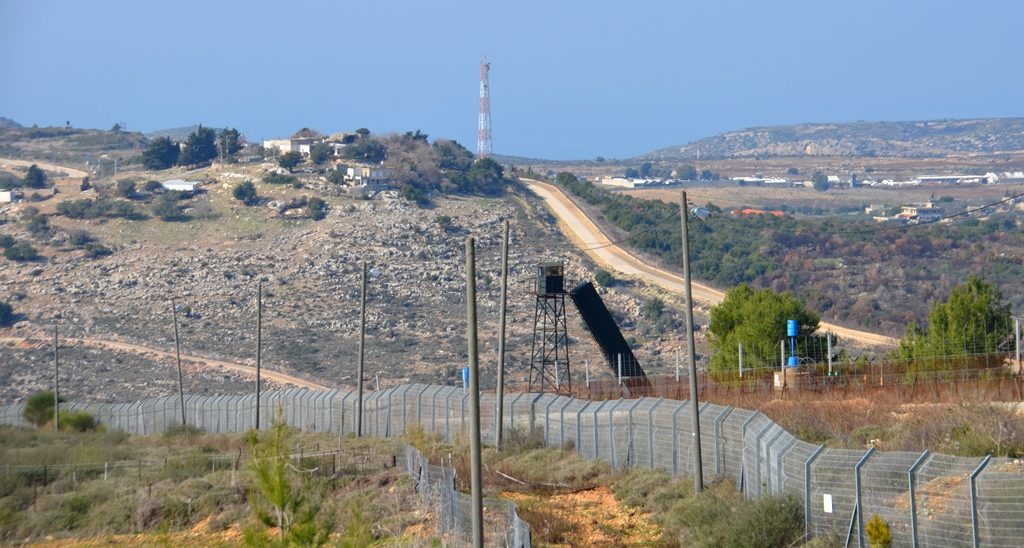
There was Lebanon, with a Hezbollah watchtower and a black-draped ladder against the fence, a close distance just to the left of that “village.”
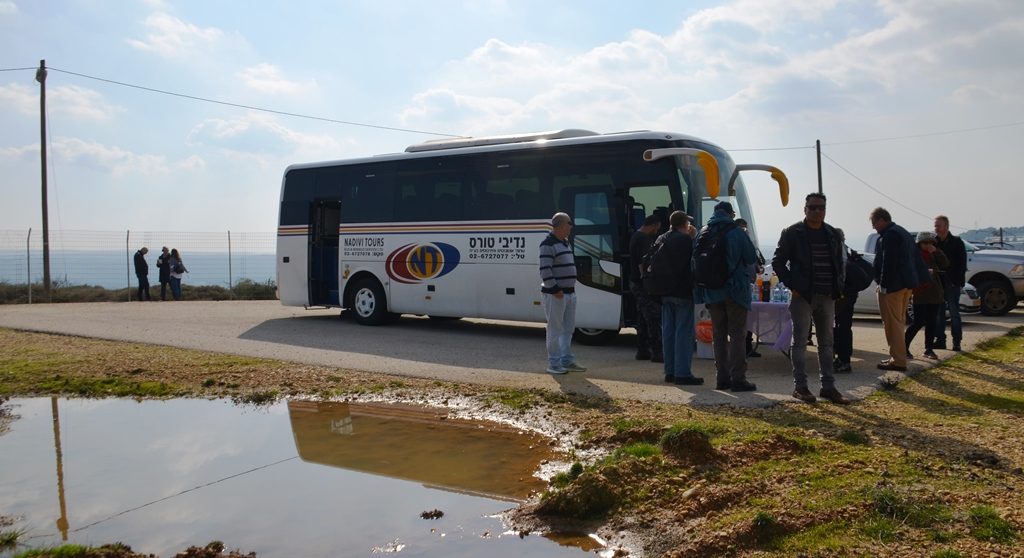
Israeli-style, a table appeared out of nowhere with cake and fruit and drinks
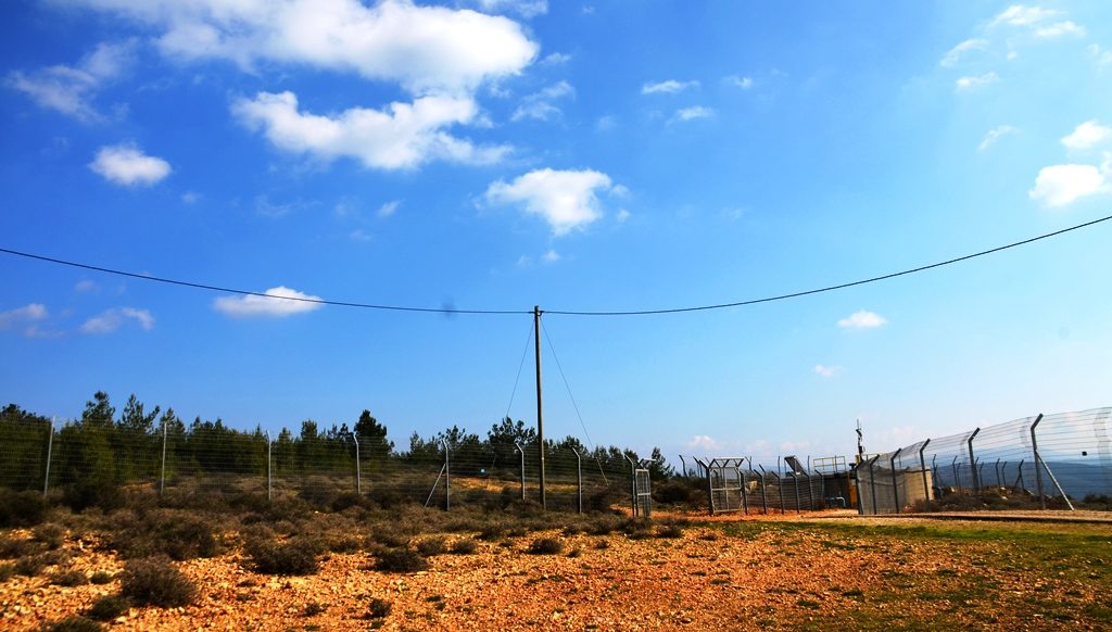
along the Blue Line border fence.
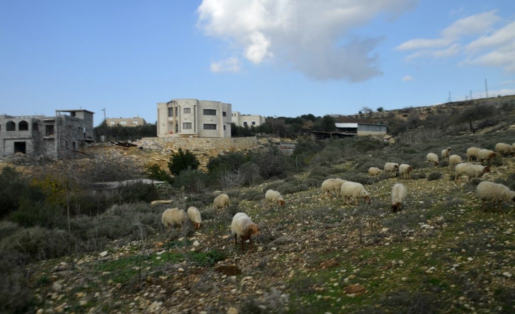
These Jewish, Arab Christian, Muslim and Druze villages are so close, residents have no seconds to run for shelter from a Hezbollah missile or rocket.
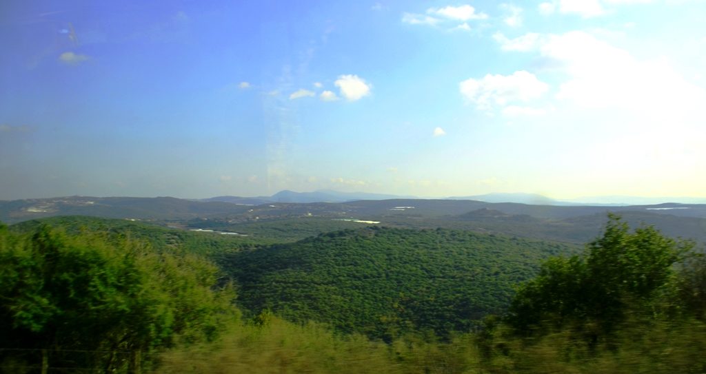
The Upper Galilee scenes from the bus were magnificent, green and lush from the winter rains.
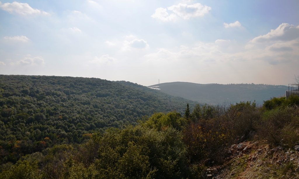
This backyard view from a private Israeli home was one of dozens of impressive landscapes.
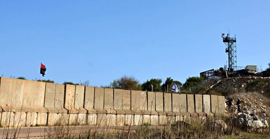
This was what was in the distance, the border with a more serious wall. Israeli forces on the right and Lebanon on the left.
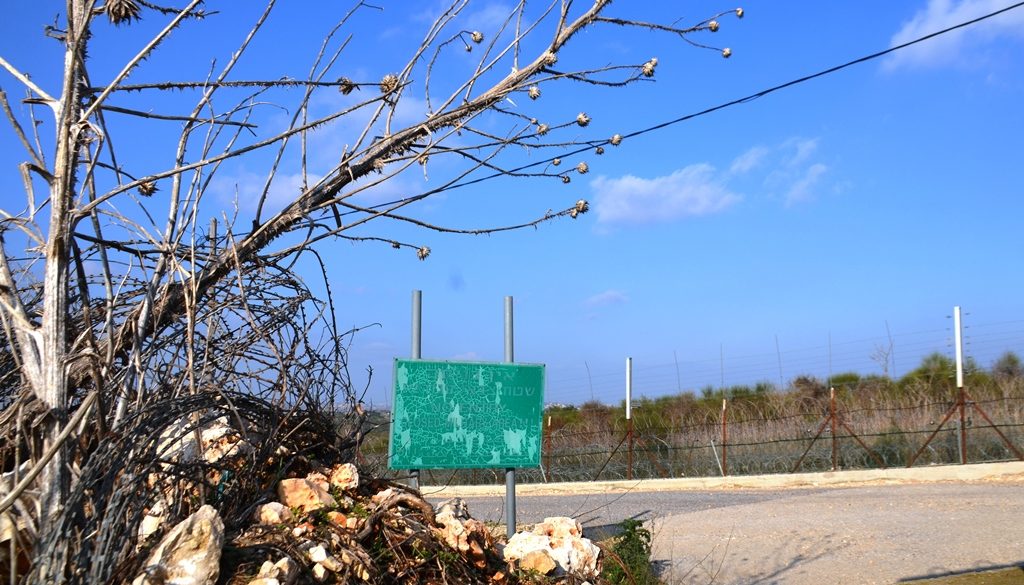
This old IDF sign was by an opening in the wall warning of a restricted military zone.
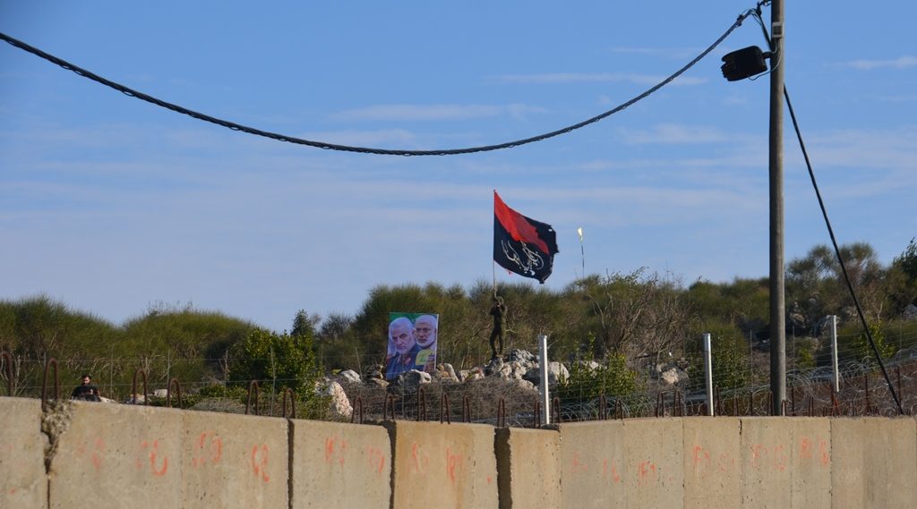
Repeated attempts to explain the red and black flag failed. The experts were not sure of its exact meaning.
The posters were said to be of psychological warfare significance. Under the flag was a man in uniform shooting – shooting photographs of us photographing him.
But what I only noticed when trying to get hundreds of images down to this one piece, the photographer was not alone. There is another man dressed in black on the left side of this photo.
They saw us approaching on the Israeli side near the border. Within a few minutes, they appeared to watch us, though we could not see their base.
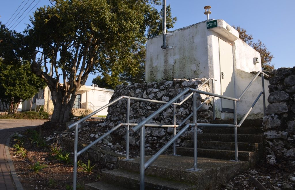
After two stops at border locations, we came to meet Israeli residents. The older members of this community are upset. This community shelter is not accessible. There are too many steps and the distance too great for their security needs. Warfare has changed in the past 14 years of quiet. These old shelters have not been updated.
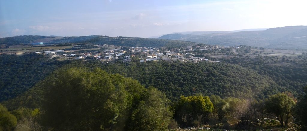
Another view from the bus of the Upper Galilee.
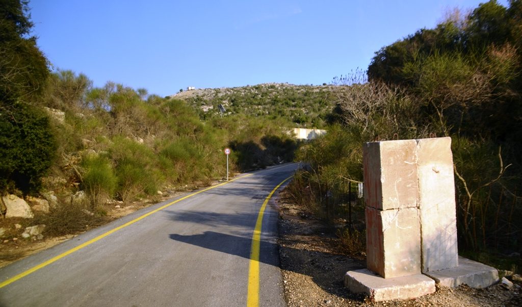
Driving this far up north you can forget about modern highways. We entered this one-lane road with a cement barrier at the side ready to block it, just in case.
Oops, our bus took a wrong turn and met military vehicles going the other way.
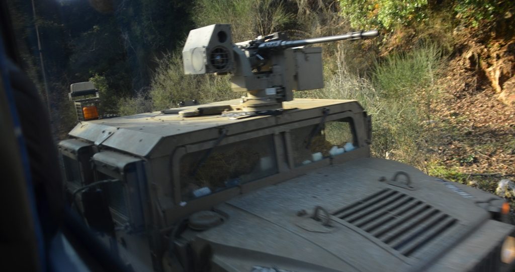
While our driver backed up slowly for quite a distance, to a spot wide enough for the IDF vehicles to pass, I had time to take a photo.
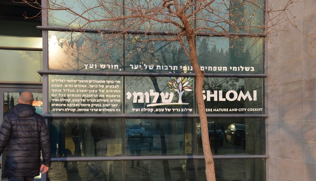
Shlomi – where nature and city coexist-was the last stop of the day.
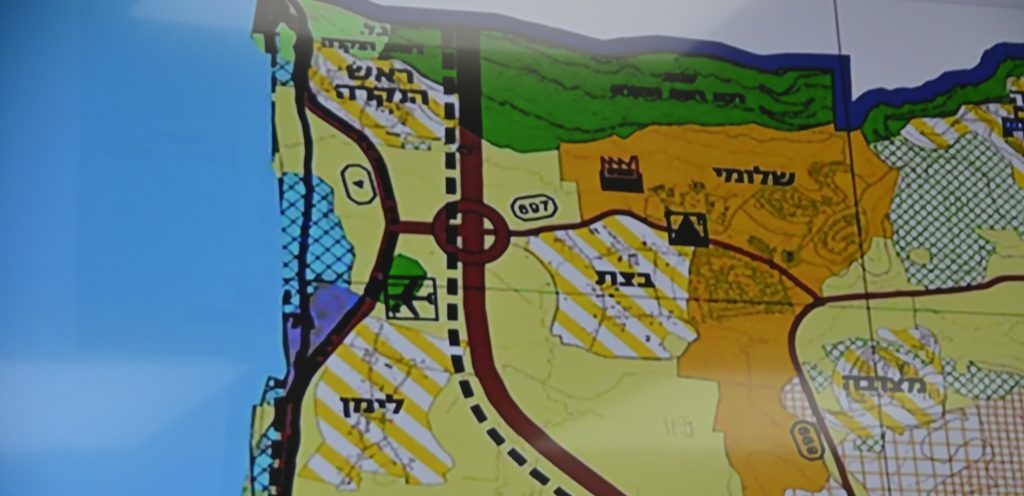
This map was in the security center of growing area with a population of 7000 residents.
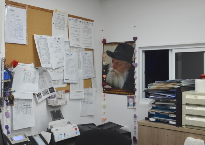
After a long day of hi-tech security projections, I was amused to see a photo of the Lubavitcher Rebbe on the wall.
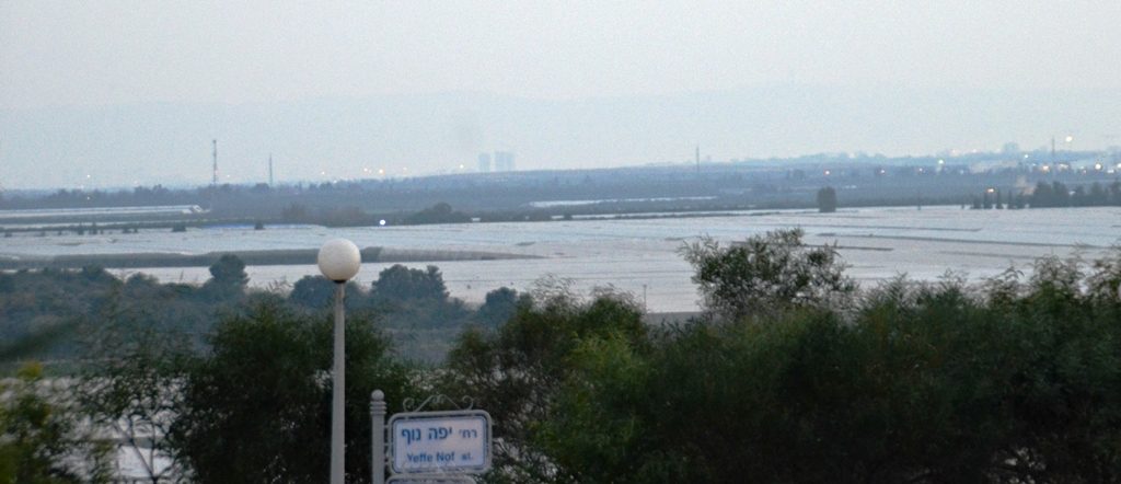
We emerged from a Shlomi bomb shelter in drastic need of modernization to meet today’s needs. In the distance there appeared to be a large body of water.
No, we were not near any sea or a lake. Those were covers over agricultural fields glistening in the late afternoon light.
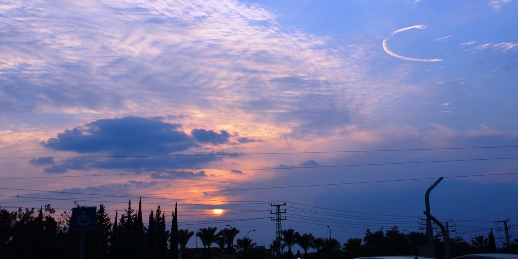
As the sun was setting, we headed back to Jerusalem. A beautiful day trip to the most northern and a gorgeous part of Israel.
Quiet for fourteen years. But the IDF must constantly stay on guard. Hezbollah is just over the Blue Line. UNIFIL is supposed to be watching. However, under their watch, terror tunnels were dug down and into Israeli territory. The known terror tunnels were recently destroyed.
What will happen next? We will have to wait and see Iran’s next moves.
A few hours drive, so near, yet so different from the Jerusalem streets.
